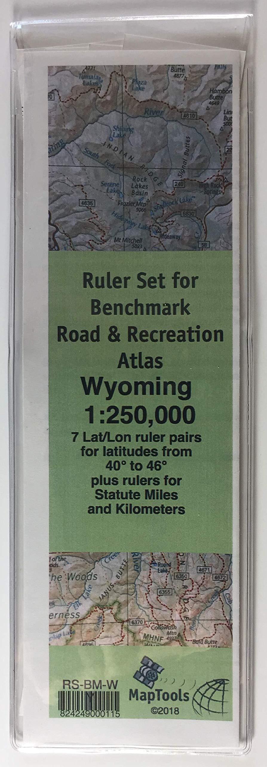
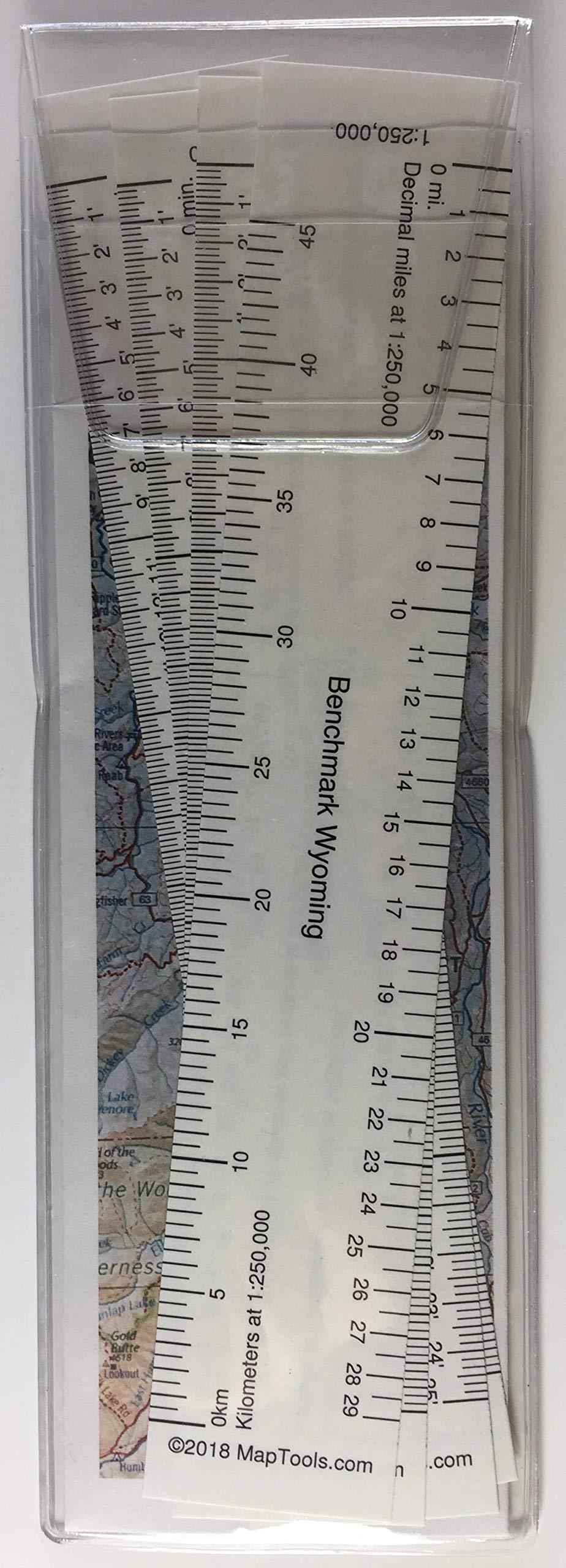


Description
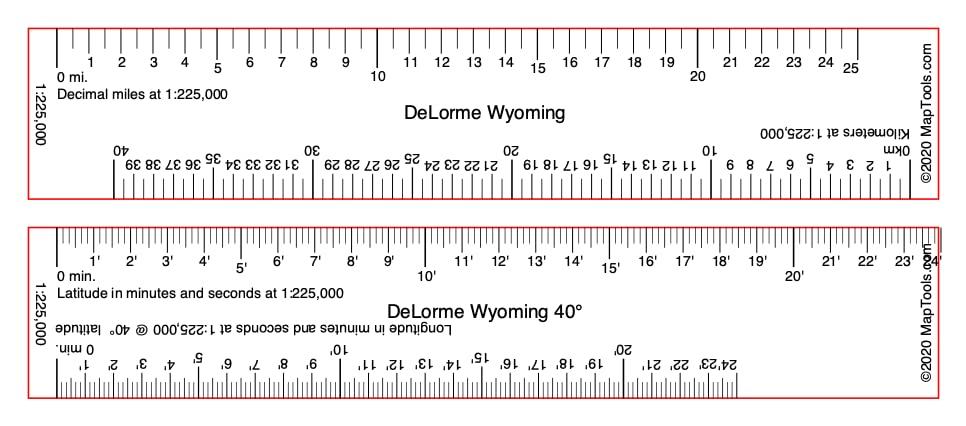
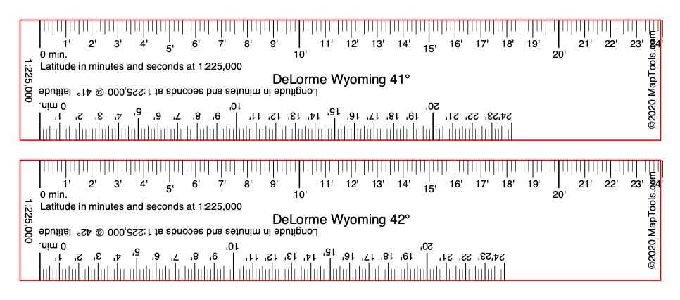
- DeLorme Atlas & Gazetteer - Wyoming
- Map Scale: 1:225,000
- 7 ruler pairs for measuring latitude longitude (24' 0")
- Longitude rulers scaled for latitude in 1 degree increments
- Rulers for measuring miles and kilometers (25 miles, 40km)
This ruler set was designed to be used with the DeLorme Atlas & Gazetteer for Wyoming. It contains 7 ruler pairs for measuring latitude longitude coordinates at latitudes ranging from 40 to 46 on a map with a scale of 1:225,000. It also contains rulers for measuring statute miles and kilometers.
The pages of the atlas have a printed lat/lon grid shown with thin black lines. The lines are marked with their values just outside of the edges of the map, in a degrees, minutes and seconds format and in decimal degrees.
Longitude rulers used north of their design parallel of latitude, will be too long to fit the grid. The ruler should be "close enough" up to about 1 north of the design latitude. As you move north, you may find the next ruler in the set is a closer fit. You can also use the ruler on a slight diagonal between the grid lines to compensate for the extra length.
These rulers are printed on a 10 mil. waterproof polyester stock. They come packaged in a vinyl pouch with an instruction sheet printed on Rite-In-The-Rain paper.